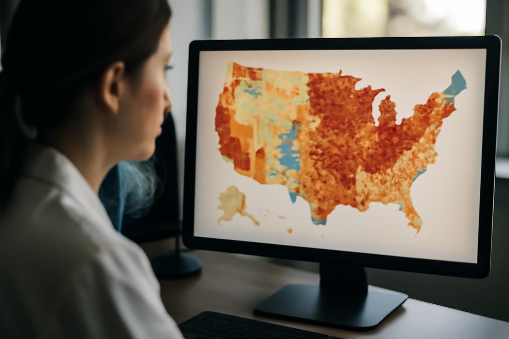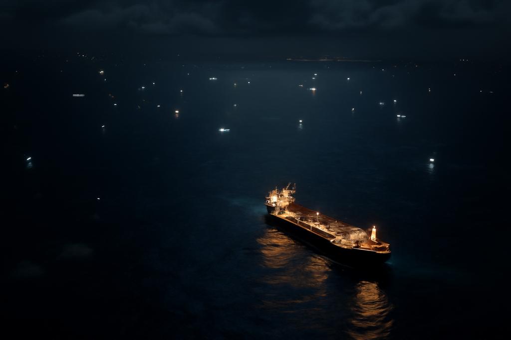
From space, the ocean looks like a crowded street at night, a glittering network of ships that vanish and reappear with weather, light, and orbital quirks. The challenge isn’t just spotting a vessel; it’s following it for days on end across changing seas, cloud cover, and a shifting fleet of satellites. A new study from a team at the Technology and Engineering Center for Space Utilization of the Chinese Academy of Sciences, with the University of Chinese Academy of Sciences, pushes past those hurdles by teaching a machine to recognize the same ship in two very different kinds of imagery—optical photographs and synthetic aperture radar scans—so we can track it all the way across hours and continents.
The researchers built the Hybrid Optical and SAR Ship Re-Identification Dataset, or the HOSS ReID dataset, using two kinds of satellites: optical images from the Jilin-1 constellation and radar images from TY-MINISAR. But they didn’t stop at data collection. They also designed TransOSS, a cross-modal ship re-identification system based on Vision Transformers that learns to map optical and SAR images into a shared, modality-agnostic space. The idea is simple in words, daunting in practice: teach a single model to recognize a ship whether you’re looking through a camera’s color filters or a radar’s echoes. This is not just a neat engineering trick; it’s a practical blueprint for continuous, all-weather maritime monitoring in an era of crowded skies and changing weather patterns.
In the paper, lead author Shengyang Li and colleagues argue that all-weather, near-continuous tracking is increasingly feasible when you fuse the strengths of low-Earth-orbit (LEO) optical satellites with radar satellites. It’s a bit like having both eyes and radar on a drone: the optical view can capture texture and color, while the radar view survives rain, clouds, or darkness. The university-backed team’s work sits at the intersection of space engineering, computer vision, and maritime security—and it’s a vivid example of how high-tech telescope-building can have very down-to-earth consequences, from search-and-rescue to shipping analytics and law enforcement.
Crossing the Modality Gap to Track Ships
Cross-modal re-identification, or ReID, is the idea of recognizing the same object across different imaging modalities. It’s like finding a friend in a crowd who sometimes speaks a different language: the hat color (optical) might not translate directly to the texture you see under radar (SAR). In practice, the gaps are structural: optical imagery emphasizes texture, color, and fine detail, while SAR images emphasize surface roughness, geometry, and radar backscatter—features that can look completely different even when they’re of the same ship. For maritime tracking, this is more than a curiosity. If you can reliably match a vessel seen by a SAR satellite with one seen later by an optical satellite, you open the door to long, continuous trajectories that weather and satellite schedules normally break apart.
The HOSS ReID dataset is designed to stress-test this cross-modal challenge under realistic conditions. The team collected 13 image sequences that include 18 SAR images and 25 optical images, for a total of 43 frames, with ships captured from multiple satellites, at different times and angles. They also included 163 distractor objects in the gallery to simulate the clutter of real-world scenes—an important touch, because in the ocean there are always many ships, buoys, and shadows in play. The dataset explicitly uses optical images with a ground sampling distance of 0.75 meters and SAR images with a 1-meter GSD, and the images are not orthorectified, reflecting the messy, real-world geometry a satellite operator would actually face. This is not a studio dataset; it’s a camera-dark, weather-worn test bed for what a cross-modal tracker could become in operation.
At the heart of the approach is TransOSS, a transformer-based architecture tailored for cross-modal ReID. Rather than building two separate backbones for optical and SAR streams, the authors deploy a dual-head tokenizer: one head processes optical patches, the other SAR patches. Both heads feed into a modality-shared transformer encoder, which learns a common representation space. To keep the model honest about the different data, the system also injects a modality information embedding—a learnable signal that tells the encoder which modality each patch comes from—alongside a ship-size embedding that preserves information about the actual scale of a vessel. All of this culminates in a distance-based matching stage: the model computes Euclidean distances in the shared feature space to decide which gallery image corresponds to a given query image.
In addition to architectural tweaks, the authors tie the whole effort to a practical learning strategy. They propose a two-stage training regimen: first, a pretraining phase that aligns optical-SAR features using large multimodal pair datasets, and then a fine-tuning phase on the HOSS ReID dataset. The pretraining mirrors ideas from contrastive learning—pulling together features from the same physical scene across modalities while pushing apart mismatched pairs. The dataset for pretraining draws on SEN1-2 (SAR-Optical data pairs) and DFC23 (higher-resolution data), enabling the model to learn general cross-modal correspondences before being specialized to ships in HOSS. This two-stage plan is not just clever; it’s essential when you’re trying to bridge fundamentally different ways of seeing the same world.
LEO Constellations and All-Weather Tracking
The paper’s bigger narrative is as important as its technical contributions: continuous tracking benefits enormously from a constellation of low-Earth-orbit satellites that can reimaging the same regions on shorter cycles. GEO satellites offer wide coverage, but their spatial resolution and revisit times aren’t ideal for identifying and re-identifying individual ships, especially when many vessels crowd busy channels or harbors. Video satellites—the high-frame-rate cousins—deliver crisp imagery for short bursts but can’t sustain long-term tracking across oceans or days. The researchers’ answer is to stitch together a network of LEO optical and SAR satellites so that one image can be followed by another image of the same ship images captured minutes, hours, or days apart, under vastly different weather and lighting conditions.
All-weather capability is where SAR shines. Optical imagery can be gorgeous, but clouds, rain, and nightfall can erase the very features needed to tell ships apart. SAR, by emitting and listening for radar echoes, is indifferent to clouds and can operate day or night. The challenge is not just to fuse data from two sensor types but to keep the identification robust as ships move, as angles change, and as imaging campaigns accumulate. This is precisely the kind of problem modern AI can tackle when given the right dataset and the right learning objectives. The team’s HOSS ReID dataset is the first of its kind to target cross-modal ship ReID with LEO optical and SAR sensors, providing a rigorous testbed for a future where an all-weather, all-seeing maritime monitoring system could live in the cloud and on the sky.
Beyond the hardware, the study also emphasizes an integrated detection-ReID-trajectory generation pipeline. It isn’t enough to say, “we found the same ship across two images.” You want to stitch those matches into a trajectory—an evolving story of where the ship is headed, how fast it travels, and when it revisits a region. That trajectory generation is the bridge between image-level matching and actionable maritime monitoring. By enabling consistent cross-modal links, the method can feed into route prediction, search-and-rescue planning, and enforcement operations, where knowing a vessel’s identity across time is as crucial as knowing its position at any one moment.
TransOSS: A Transformer That Speaks Two Languages
TransOSS is built around a Vision Transformer backbone, but with a few surgical differences tailored for cross-modal earth observation. The architecture starts with cross-modal dual-head tokenizers: optical and SAR inputs are embedded separately, ensuring that each modality is treated in a way that preserves its signal while still feeding into a common transformer. The key move is to keep the encoder shared while giving the network a sense of which modality is presenting the data. That way, the model learns to suppress modality-irrelevant details and emphasize shared, shape-focused features that survive the cross-domain transfer.
To help the model “see” ships more reliably, the designers add an auxiliary ship-size embedding. This is a practical nod to the fact that, in remote sensing imagery, object size is often a stable and informative cue. Rather than forcing all images to a fixed size, the ship’s dimensions—estimated from the image and the ground sampling distance—are fed into the encoder as a vector. It’s a small piece of geometry that matters a lot when you’re trying to tell a merchant vessel from a fishing boat when their appearances diverge between optical and radar views.
On the training side, the team uses a two-stage plan that leverages contrastive learning across optical-SAR pairs. The pretraining stage uses pairs to pull together the same object across modalities and push apart different objects, establishing a shared semantic space. The fine-tuning stage then trains with a more traditional ReID loss: a classification loss over ship IDs plus a triplet loss that nudges same-ship features together in the embedding space while pushing different ships apart. The end result, according to the paper, is a substantial improvement over existing cross-modal methods, culminating in a strong all-around performance after the two-stage regimen.
What does this look like in practice? In their cross-modal experiments, the researchers test how well the model can match optical queries to SAR galleries and vice versa. The results are telling: once pretraining on optical-SAR pairs is in place, the model gains meaningful gains in mean average precision and rank accuracy, even when the query modality does not match the gallery modality. The visualizations from Grad-CAM further illuminate the story: the model learns to focus on consistent ship contours and local features that persist across modalities, rather than chasing modality-dependent quirks. It’s a quiet victory for a type of learning that seeks to see past the surface into the structure of objects themselves, no matter how they’re photographed or scanned.
Takeaway: TransOSS isn’t just a fancy algorithm; it’s a blueprint for how to build robust, cross-modal perception systems that can operate in the real world’s imperfect, multimodal data streams. The combination of a dual-head tokenizer, modality embeddings, ship-size cues, and a disciplined two-stage training plan demonstrates a path forward for many remote-sensing problems beyond ships—think multi-sensor urban monitoring, environmental surveying, or disaster response where data arrives in many flavors and under varying conditions.
Why This Matters and What Comes Next
The practical implications of this work are surprisingly broad. Maritime monitoring matters for safety, economics, and governance. In search-and-rescue, every minute counts; being able to track a vessel across a weather-front boundary or through a night blackout could shave hours off response times. In law enforcement and sanctions enforcement, consistent tracking of non-cooperative targets—ships that don’t spend AIS beacons or that attempt to hide their identities—could help authorities detect and deter illicit behavior. And for the shipping industry, better trajectory data means smarter traffic management, port operations, and climate-influenced modeling of maritime routes.
Beyond the immediate domain of ships, the HOSS ReID dataset and TransOSS method illuminate a broader pattern in artificial intelligence for remote sensing: the move from “look, I can classify this image” to “look, I can track the same thing across many ways of seeing the world.” As space agencies and private companies proliferate new sensors—more optical satellites, more radar constellations, even hyperspectral and lidar-like modalities—the ability to fuse these signals becomes not a luxury but a necessity. The paper’s emphasis on all-weather, long-duration tracking foreshadows a future where a constellation of small satellites forms a living, persistent observation net, capable of telling the same vessel’s story across days and seasons with minimal human intervention.
There are caveats, of course. The dataset is a carefully constructed, albeit pioneering, testbed. Real-world deployment will demand even more diverse data, more modalities, and robust defenses against data scarcity and potential adversarial manipulation. The authors themselves point to future directions, including exploring unsupervised or self-supervised learning to reduce data labeling needs and expanding the modalities to incorporate multispectral data or even textual metadata. The cost and logistics of tasking multiple satellites remain nontrivial, and non-cooperative ships will always pose a challenge. Yet the study’s trajectory is clear: better data, smarter models, and tighter integration with maritime operations could transform how we watch the sea in the 21st century.
As Li and colleagues note, the concrete takeaways include not only a public dataset and a public model but a proof of concept: a pipeline that can detect a ship, re-identify it across modalities, and feed those links into trajectory generation. It’s a reminder that the most valuable insights often emerge at the seams where disciplines meet—remote sensing, computer vision, and space infrastructure—where a single ship can become a testbed for how we build a more observant, safer, and better-governed world of oceans and skies.
In the end, the work isn’t merely about teaching a computer to recognize a vessel in two kinds of pictures. It’s about building a resilient lens on our planet’s busiest highways—the seas—that works in weather, in darkness, and across the diverse language of sensors. The researchers behind HOSS ReID and TransOSS have offered a window into a future where ships can be tracked over days and across suns and storms, stitched together by data that speaks more than one language—and speaks it well.
The study’s behind-the-scenes credit goes to the Technology and Engineering Center for Space Utilization at the Chinese Academy of Sciences, with collaboration from the University of Chinese Academy of Sciences. The lead researchers include Shengyang Li, Han Wang, and their colleagues, who together push the boundary on cross-modal perception for space-based maritime monitoring.