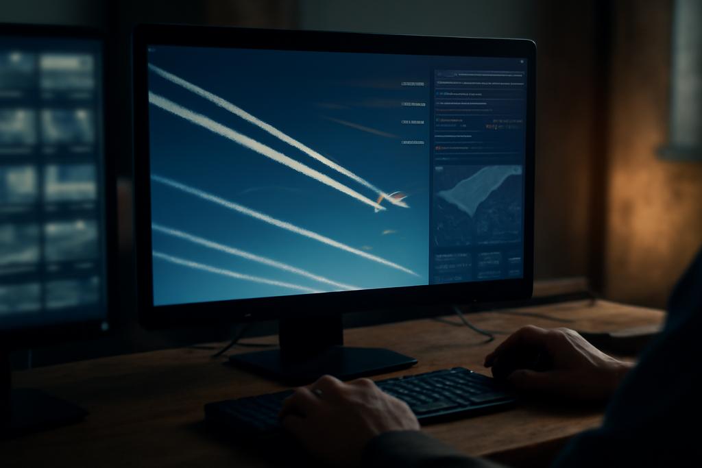
The wispy white streaks trailing behind airplanes—contrails—aren’t just pretty sights. These ice clouds significantly impact Earth’s climate, potentially warming the planet as much as CO2 emissions from aviation. But accurately measuring their effect has been a challenge. Existing datasets have limitations; they lack the temporal resolution to track contrails’ full lifecycles, and often don’t link them to the flights that produced them. This crucial information gap is now being closed, thanks to a new dataset created by researchers at EUROCONTROL.
Decoding the Invisible
Imagine trying to understand the impact of something you can barely see, something that forms, dissipates, and spreads across vast distances in a matter of minutes or hours. That’s the challenge with contrails. They’re fleeting, their impact depends on atmospheric conditions, and reliably measuring their global contribution requires extensive, high-resolution data over long periods. Traditional physical models struggle with this task; they rely on often inaccurate input data and simplifying assumptions. This is where the power of computer vision and big data comes in.
The new Ground Visible Camera Contrail Sequences (GVCCS) dataset offers a leap forward. Developed by Gabriel Jarry and colleagues at EUROCONTROL’s Aviation Sustainability Unit, GVCCS provides high-resolution video sequences of contrails captured by a ground-based all-sky camera. Each contrail is meticulously annotated, tracked over time, and, crucially, linked to specific flights whenever possible, through integration with flight trajectory data. This unique level of detail allows researchers to analyze the entire lifecycle of contrails, from their initial formation to their eventual dissipation.
More Than Just Pretty Pictures
The dataset isn’t just a collection of pretty images; it’s a powerful tool. By combining high-resolution imagery with precise temporal information and flight data, researchers can now create more sophisticated models to predict contrail formation and their climate effects. This will lead to better mitigation strategies, allowing aviation to reduce its environmental impact. The dataset also provides a robust benchmark for testing and improving various deep learning models.
The team used a sophisticated deep learning model called Mask2Former, specifically designed for panoptic segmentation (a technique combining semantic and instance segmentation), to automatically segment and track contrails. This model outperformed a U-Net baseline, emphasizing the power of specialized architectures for this complex task. The study also revealed the importance of the multi-polygon annotation approach. This allows the model to account for the inherent fragmentation often present in real-world contrails, enabling more realistic and accurate analysis.
Challenges and Future Directions
Even with this groundbreaking dataset, challenges remain. The current ground-based camera system limits observations to daytime conditions. However, researchers are already deploying an infrared camera to extend data collection to nighttime hours, enabling more comprehensive analysis of contrail radiative forcing. Additionally, the process of attributing contrails to their source aircraft is complex, involving algorithmic matching of contrail trajectories with flight paths. The researchers plan to make these algorithms publicly available to the research community.
The GVCCS dataset is a crucial step towards a more data-driven understanding of aviation’s climate impact. It’s not merely about improving models; it’s about building a more holistic and accurate picture of a problem that has implications far beyond the skies. It underscores the potential of integrating different data streams and sophisticated AI techniques to address real-world challenges in climate science.
The future of this research lies in linking ground-based observations with satellite imagery, providing a truly comprehensive view of contrail lifecycles. This will require further development of data analysis techniques and a collaborative effort across research institutions. The open-source nature of the GVCCS dataset is a vital step toward this collaborative future, enabling scientists worldwide to build on this foundational work.


