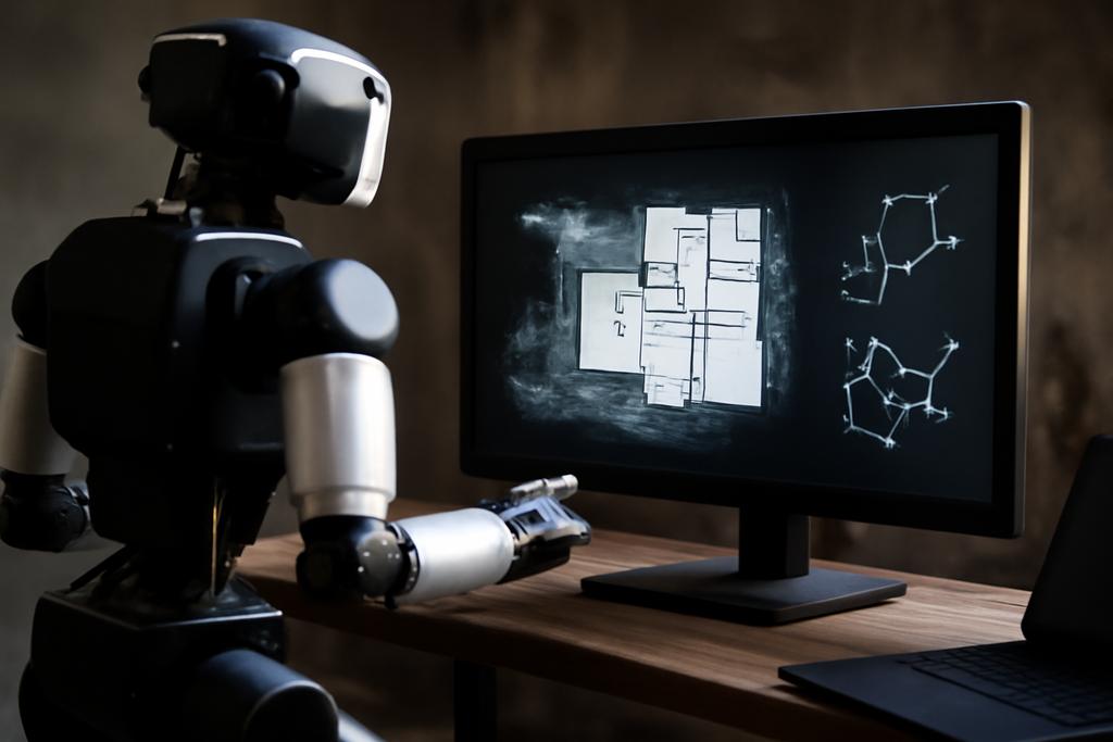
When a robot crawls through a collapsed warehouse or a smoke-filled office, it sees nothing but geometry and noise. Humans glimpse a map of rooms and relationships; a plan, a story, a way to navigate danger. Pix2G is a furniture-ready translation device for machines, turning raw pixels and lidar echoes into a human-scale map—a semantic, multi-layer graph that explains where things are, what they are, and how they fit together. It’s a quiet revolution in how autonomous systems understand space, one that aims to make real-time robotic decision-making as intuitive for operators as a blueprint is for a contractor.
The study behind Pix2G sits at NASA’s Jet Propulsion Laboratory (JPL) and the California Institute of Technology (Caltech), with collaborators from the Polytechnic University of Bari and Field AI. The lead author, Antonello Longo, and a team of researchers describe a lightweight, CPU‑friendly pipeline that builds a four‑level semantic map from on-board data. In plain terms: you feed the robot a stream of pixels and point clouds, and it returns not just a 3D map, but a language—the Building Information Model (BIM) style top-down view, the scene graph that labels rooms and objects, and a colored 3D point cloud that visually communicates the environment’s structure. All of this runs in real time on modest hardware, designed to keep up as the map evolves during exploration. This is not just flashy tech; it’s a practical bridge between how humans think about spaces and how robots perceive them in the wild.
Pix2G arrives at a moment when robots must operate with humans, not replace them. In dangerous settings—disaster response, industrial inspection, or infrastructure safety—operators rely on concise, intelligible situational awareness. The researchers’ goal is to deliver that awareness in a form that a human can quickly understand and act on, while preserving the robot’s ability to plan and execute with rigor. That means, in the team’s words, a lightweight system capable of online and offline operation modes, robust to noisy sensor data and partial views, and built on a pipeline that can function entirely on CPU power when necessary. It’s a design philosophy as much as a technical achievement: pragmatic, mission-minded, and surprisingly elegant in its use of already familiar tools to create a new kind of map for robots.
Bridging BIM and the Robot Map
To operate safely in complex environments, robots need both fine-grained geometry and high-level semantics. Traditional robotic planning leans on 3D geometry, while humans often think in top-down, labeled spaces—think BIM diagrams that label rooms, walls, and functions. Pix2G’s core idea is to fuse these two languages into a single, navigable representation. The project frames the world as a multi-layer scene graph, where each layer adds a type of knowledge: the object layer catalogs individual things, the scene layer captures types of places, the room layer partitions spaces like kitchens or garages, and the building layer abstracts the overall architecture. The result is a graph that two audiences can read at once: a robot’s spatial logic and a human operator’s conceptual map.
One of the paper’s striking commitments is doing substantial work in the image domain rather than relying entirely on heavy 3D processing. The team builds a Bird’s-Eye View (BEV) of the LiDAR map, then applies a top-down 2D segmentation that identifies rooms, corridors, and other structural components as separate instances. That 2D representation is then back-projected into the 3D world, so the same masks colorize the actual point cloud and illuminate the space’s layout. The BEV is not a brittle sketch; the authors augment it with a generative inpainting network that fills in missing walls and repairs gaps caused by noise or partial views. The underlying intuition is simple but powerful: working in 2D makes the problem tractable on CPU hardware, while the 3D back-projection preserves the spatial reality operators need to reason about to act safely and effectively.
In the background, Pix2G also fuses object detections from a vision model with scene-type inferences from a scene-classifier, tying what the camera sees to whether the robot is indoors or outdoors and to the kind of space it’s traversing. The architecture explicitly separates the tasks into parallel streams: one path focuses on objects and scenes, the other on structural segmentation. The two streams feed the same four-layer graph, then converge into a unified, navigable representation. The design is intentionally modular, so new sensors, new object types, or new labeling schemes can be added without tearing down the whole system. It’s the difference between a brittle map and a living atlas that grows with every new observation.
Pix2G Unpacked: How It Works on CPU
The technical heartbeat of Pix2G is a clever mix of well-worn deep-learning components arranged to be light on compute. The segmentation core relies on Mask R‑CNN, a robust, widely supported model that excels at turning pixels into object masks with associated class labels. The team trained a specialized dataset, extending the CubiCasa5K floorplan resource with field data and synthetic noise to mimic the uncertainties robots face in real life. The result is a segmentation engine that can run on CPU, a deliberate restraint that makes the approach accessible for onboard robotics without needing expensive GPUs.
On the perception side, Pix2G processes a camera image and a LiDAR map in parallel. The camera stream feeds an MMDetection-based detector that yields masks for objects, whose poses are then projected into the 3D map using a sensor fusion pipeline. The LiDAR map is turned into a BEV via an adaptive thresholding technique that accounts for height differences and clutter, a practical improvement over fixed-threshold methods. The BEV is then denoised by a generative inpainting network trained to preserve walls and room connections while filling gaps caused by incomplete data. The authors’ key insight is to treat “structure” as something that can be recovered even when sensors disagree or miss details—provided you have a model that respects the physics of space and the likelihood of certain architectural patterns (walls tend to be vertical, rooms often have straight boundaries, and doors break walls at predictable places). The GAN-based restoration helps keep the BEV coherent enough for downstream segmentation to work reliably.
With the 2D structure in hand, the segmentation engine slices the top-down image into independent components representing rooms and other architectural features. A pixel-to-voxel association then re-anchors these masks in 3D, so each labeled region in the image corresponds to a set of 3D points in the cloud. The final product is a four-layer scene graph: objects (what’s in the space), scene (what kind of space it is), rooms (how the space partitions), and building (the larger architectural context). The graph isn’t just pretty; it’s functional. Operators can query the graph to understand that “the orange object in the kitchen is a cart” or that “this corridor connects two rooms in the same building,” and the robot can plan actions that respect those relationships—avoiding doorways, prioritizing door thresholds, or selecting routes that minimize complexity for a given task.
An equally important design choice is its CPU-only footprint. Pix2G is explicitly built to run on-board on resource-constrained robots, which is essential for mission-critical operations where streaming data to a central computer isn’t feasible. The researchers demonstrate that the heavy-lifting happens in 2D, with 3D alignment and graph rendering following suit. In practice, that means a robot can map a cluttered garage or a long office corridor in near real time, maintaining a readable, semantic map even as the scene changes or the map fills in with more data.
From Lab to Real-World Impact
The authors tested Pix2G on a real humanoid-legged robot platform, the NeBula-Spot from JPL, in two challenging environments: a cluttered garage and a compact urban-like office. In the garage, the system successfully partitioned the space into three large areas, then colored the 3D point cloud to reflect the distinct regions. In the office, the robot confronted many small rooms and narrow corridors and still produced a credible, room-by-room map. The results weren’t just pretty pictures: the CPU-based runtimes were measured to be compatible with real-time exploration, and memory usage remained within practical bounds for onboard operation. The team also showed that the BEV generation scales with map size in a predictable way, suggesting sensible paths toward future optimizations like a moving window that caps computation as maps grow larger.
Why does this matter beyond the lab? For one, Pix2G makes human-robot collaboration more pragmatic. A human operator can look at the 2D BIM-like map and the 3D scene graph and grasp the situation quickly, even as the robot is actively navigating a building it has never seen before. The approach supports safer, more efficient mission planning in dangerous environments—think search-and-rescue, critical infrastructure inspection, or disaster response where every second matters and the environment is uncertain or cluttered. The framework also offers a template for how to encode semantic knowledge into robotic perception without heavy compute: trust the structure, then let the geometry follow.
Another practical implication: Pix2G demonstrates a viable path toward multi-robot and human-in-the-loop systems. A shared semantic graph could let several agents coordinate by referring to the same language about rooms, corridors, and building-level relationships. Operators could issue high-level commands like “survey the garage and identify any blocked exits,” and expect the robot(s) to translate that into concrete actions anchored by a graph that’s easy to interpret and reason about. In a broader sense, Pix2G hints at a future where robots don’t just map a space; they narrate it—with the clarity of a floor plan, the nuance of a scene graph, and the immediacy of real-time perception.
In the end, Pix2G is as much about storytelling as sensing. It bridges a human-friendly top-down BIM view with a robot’s bottom-up 3D perception, collapsing two languages into a shared, actionable map. It’s not that pixels suddenly became magic; it’s that we learned how to turn noisy observations into a structured atlas the size and shape of a building’s heartbeat. And because the system runs on CPU at the edge, it doesn’t demand a miracle in processing power to function in the places where we most need autonomous help—the places humans fear to go and want help to explore.
The study’s provenance matters. The work was conducted at NASA’s Jet Propulsion Laboratory with Caltech, in collaboration with the Polytechnic University of Bari and Field AI. The paper’s lead author, Antonello Longo, and his colleagues have given the field a concrete demonstration that semantic, human-readable maps can be generated in real time from raw sensor data without tipping into computational overkill. It’s a reminder that sometimes, the most disruptive ideas arrive not from heavier hardware but from smarter software that helps devices speak the same language as the people who operate them. Pix2G doesn’t just map space; it maps understanding itself, one pixel at a time.
