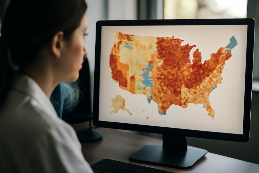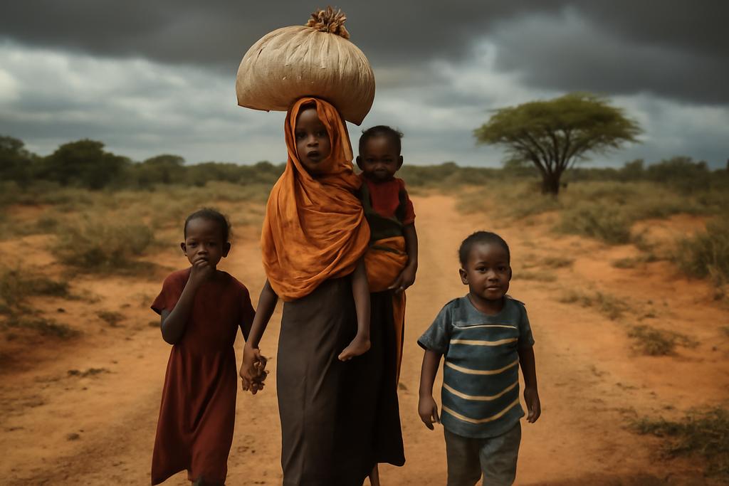
Climate change is not just rising temps; it’s a map of dangers and opportunities that pushes people to move not for adventure but to survive. When drought tightens the land, when floods erase roads, and when fighting erupts in fragile regions, communities become travelers navigating a landscape that shifts from week to week. A new study treats that movement as a measurable, testable phenomenon rather than a collection of isolated anecdotes, turning chaos into data you can reason about.
Led by David Carranza of Osnabrück University in Germany, and involving researchers from Scuola Superiore Meridionale in Italy, the ISI Foundation in Turin, and collaborators across Europe, Asia, and beyond, the work applies a hybrid diffusion on a network framework to climate and conflict driven displacement. It uses a diffusion process on a map built from real displacement flows in Somalia over a five month window in 2025, reconstructing plausible routes by simulating random walks that travel from origins to destinations. The aim is not to predict a single itinerary but to map the landscape of possible journeys and the hazards people are likely to meet along the way. The dataset contains 20,220 displacement events, a treasure trove that becomes intelligible when recast as a graph with biased edges that reflect actual flows.
The study is a blend of physics style thinking and humanitarian data work. It builds a directed, weighted network where each node is a settlement and each edge carries a share of departures that reach a given destination. Then it runs many probabilistic walks along the network, biased toward stronger corridors that mirror observed flows. The result is a probabilistic atlas of how an ordinary family might move through drought, conflict, and scarcity, step by step, across a country where risk is not evenly distributed. The paper presents a proof of concept using Somalia data from February to June 2025 and shows how droughts emerge as a pervasive pressure on trajectories, while conflicts shape routes in ways that depend on length and geography. The team also notes that while the method is data driven, its strength lies in explaining patterns rather than predicting a single person’s exact travel plan.
A New Lens on Climate-Driven Migration
Traditional models of migration often resemble gravity equations: bigger places attract more people, and distance dampens flows. They are seductive in their simplicity but brittle in practice, since they require adjustable parameters and tend to capture only a snapshot in time. The new study dissolves that static snapshot by imagining migration as a diffusion process that unfolds over a map of settlements. Each settlement is a node, each observed displacement is a directed, weighted edge, and the movement of people is a diffusion process that can wander along multiple plausible routes rather than converge on a single path.
Crucially, the edge weights encode real-world flow: from a source settlement to a destination, what share of departures end up at that destination? In Somalia, the researchers built a network of thousands of settlements and nearly ten thousand directed connections, then restricted their analysis to the largest connected component so simulations can traverse a coherent geography. Those choices matter: they ensure the walks move through corridors where people actually travel, not across gaps left by incomplete data. The data come from the Somalia Emergency Trend Tracking System, covering February through June 2025, a period marked by droughts, floods, and ongoing conflict. The lead author is David Carranza, and the team includes Devansh Sharma, Francisco Malveiro, Gustavo Kohlrausch, Jisha Mariyam John, Kaloyan Danovski, Malvina Bozhidarova, Rui Zheng, and Sandro Sousa. The work was presented at Complexity72h in Madrid, hosted by Universidad Carlos III de Madrid.
The science behind it is practical in its elegance. Instead of predicting a single journey, the method generates many probabilistic paths from each origin to each potential target. Each path advances one step at a time along the weighted connections, with termination rules to keep computation honest. By tracking which hazards the path encounters along its course, the researchers estimate hazard exposure along the journey and across many possible journeys. The surprises come not from a single forecast but from the distribution: droughts loom large across most trajectories, while conflicts and other shocks appear with varying intensity depending on how far a path travels and which hubs it passes through.
Diffusion on a Somali Mobility Network
To turn displacement into a graph, the team treats each settlement as a node and each observed move as a directed edge. The edge weight is the share of departures that reach the destination, normalized by the total departures from the source. This yields a directed, weighted graph with thousands of nodes and edges, one of the densest cores of movement around southern and central Somalia. The largest connected component contains 4,765 settlements linked by 8,958 edges, with hubs such as Banadir and Lower Shabelle acting as major attractors for internally displaced people. The fact that a handful of places concentrate flows is not a moral indictment but a practical map: where people move, aid and policy attention should cluster too.
The graph is the stage for two kinds of diffusion. In an unbiased walk, the next step is chosen at random among neighbors; in a biased walk, choices mirror edge weights, pushing the walk toward stronger corridors that reflect observed flows. The diffusion is not merely a math trick; it mirrors real life where people follow routes shaped by safety, roads, checkpoints, and kin networks. Beyond mapping routes, the study annotates each node with the most common hazard in that location and then measures exposure along simulated paths. For a given hazard type such as drought or conflict, the exposure on a path is the fraction of displacement along the path attributed to that hazard. The researchers generate a large set of probabilistic paths for every origin–destination pair and then aggregate results to obtain global hazard profiles as well as step-by-step early exposure patterns.
The approach allows for a nuanced read of risk that respects both geography and human choice. It is not a forecast of a single journey but a probabilistic forecast of many journeys, each shaped by the structure of the network and the local hazard landscape. And it highlights a key insight without diminishing individual stories: hazards do not impact all paths equally, and the timing of exposure can tilt decisions well before a traveler reaches their destination.
What the Paths Reveal About Drought and Conflict
The core finding is stark and humbling: drought and conflict are the dominant drivers shaping displacement flows in the Somali context. Drought emerges as a pervasive hazard along nearly all trajectories, a testament to climate stress that bleeds into journeys regardless of how long or short a path is. Conflicts, by contrast, are influential but more path dependent; their exposure is widely dispersed and tends to fade as paths lengthen, suggesting that the longer a journey, the more opportunities exist to avoid the worst hotspots or encounter different hazards.
Other hazards such as eviction, floods, or unrelated shocks appear less uniformly along trajectories. Their exposure is highly variable and often confined to a subset of pathways, which makes them less predictable overall. The distribution of exposure probabilities is not a simple bell curve but a landscape of extreme values: some paths carry unusually high exposure to a given hazard, while many others are relatively safe. The authors note that most simulated paths traverse a handful of settlements, reflecting the reality that many IDPs move through a few hubs on the way to safety or support.
But the story is nuanced. The five-step view into early displacement reveals that drought becomes the dominant hazard even in the initial moves, while abrupt hazards like floods can trigger rapid route changes, effectively pushing people toward shorter, drought-averse routes. The diffusion framework captures this path dependence, showing that the sequence of places matters as much as the endpoints. In other words, a journey through a drought-prone region is not merely a matter of origin and destination but a choreography of places, each with its own risk signature that nudges the traveler along one corridor or another.
Implications for Policy and Human Stories
So what does this mean for planners, aid organizations, and families living under climate and conflict risk? One practical upshot is a more nuanced hazard map layered on top of the displacement network. By identifying which corridors concentrate most flows and which hubs dominate movement, authorities can target water, food, shelter, and protection where they are most needed. The framework also offers a way to anticipate how shifts in climate or policy might ripple through the network, altering routes and timing of hazards. In short, the method provides a way to think about preparedness as a diffusion problem rather than a series of isolated incidents.
Of course the approach has limits. The project relies on displacement data that, while detailed, may miss informal routes or irregular movements not captured in official matrices. Temporal dynamics are treated in a static snapshot, so the exact timing of hazards and displacement duration are not directly modeled. And like any model built on real flows, it inherits biases and gaps in the underlying data. The authors frame their results as probabilistic pathways rather than precise predictions, offering a way to reason about risk, not to forecast a single journey for any given family.
Still, the approach is promising because it speaks to a broader shift in how we study human mobility in the era of climate stress. Rather than assuming people always head toward the nearest large city, the diffusion-on-network view accepts that movement is a tapestry of choices shaped by risk, opportunity, and social ties. It also foregrounds the notion that hazards interact in time: drought can destabilize markets, which can amplify conflict, which in turn reshapes who splits from whom. Mapping these interactions with data-driven methods gives policymakers a more human, navigable picture of what displacement feels like on the ground.
In a world where displacement is likely to become more common, tools that translate scattered displacement data into navigable maps of risk could become essential to humanitarian planning. The Somalia study shows not only where people move but how hazards ride along their routes. It is a reminder that numbers can carry a story about fear, resilience, and the stubborn impulse to survive, one probabilistic step at a time.