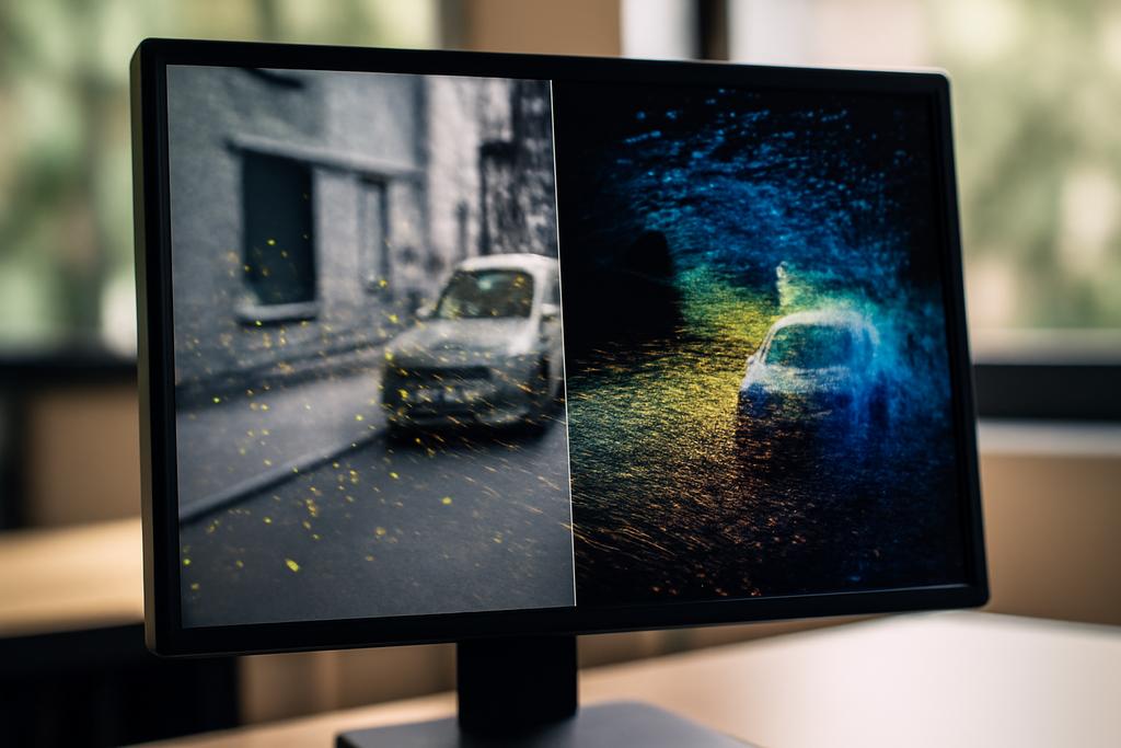
Visual localization is the quiet but essential magic behind every slick AR demo, every autonomous delivery robot, and every mapping app that seems to know where you are without asking. It’s the challenge of figuring out the camera’s 6-DOF pose—the exact position and orientation in three-dimensional space—within a sprawling 3D map. For years, researchers leaned heavily on images alone to build those maps, stitching countless photographs into a virtual atlas. But the method is brittle. If a scene lacks texture, or if lighting confuses the detector, the correspondences between images and the 3D world fray, and the pose estimate can drift or fail altogether. And because getting a truly dense, accurate 3D map from images alone is computationally expensive and error-prone, many teams pursued ever more clever feature tricks, hoping to coax reliable matches from texture-rich but imperfect data. The result, in practice, often felt like assembling a jigsaw with missing pieces.
Enter LiM-Loc, a new approach from NT T Corporation in Japan, led by Masahiko Tsuji, with collaborators including Hitoshi Niigaki and Ryuichi Tanida. The paper behind LiM-Loc asks a deceptively simple question: what if we stop fighting feature matching and instead directly bind 2D image keypoints to 3D LiDAR data? LiM-Loc forges a dense, centimeter-accurate 3D reference map by aligning the camera’s view to a LiDAR point cloud, rather than chasing noisy image-to-geometry correspondences. In other words, it treats the 3D map not as a fragile reconstruction built from image matches, but as a robust, sensor-fused scaffold to which the camera’s 2D features can be pinned with almost no error. The result is a more reliable compass for pose estimation, a map that captures far more detail, and a workflow that can work with fewer reference images. It’s a practical, high-precision shift in how we think about localization, one that could ripple through robotics, AR, and beyond.


