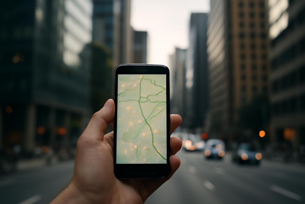
Why Your Phone’s Signal Could Outsmart GPS in the City
In the maze of skyscrapers and bustling streets, your trusty GPS often feels like a lost tourist. Satellite signals bounce off glass and concrete, creating echoes and shadows that confuse your device’s sense of direction. But what if the very cellular signals your phone uses to chat and stream could also guide you home with pinpoint accuracy? Researchers at The Hong Kong Polytechnic University and The University of Hong Kong have taken a deep dive into this idea, exploring how cellular signals based on OFDM (Orthogonal Frequency-Division Multiplexing) can be harnessed for precise positioning, especially in urban jungles where GPS stumbles.
From Two Steps to One Leap: Rethinking Positioning
Traditional positioning methods often work like a two-step dance: first, they estimate distances or times from multiple base stations, then they triangulate your location. This approach, while effective in open skies, struggles when signals are distorted by buildings or other obstacles. The team led by Sijia Li and colleagues proposes a bold alternative called Direct Position Estimation (DPE). Instead of breaking the problem into pieces, DPE tackles your position, velocity, and timing all at once by analyzing the raw cellular signals directly.
This is like skipping the map and compass, and instead reading the subtle cues of the environment to know exactly where you are. The researchers derived the theoretical limits of how accurately DPE can work in OFDM-based cellular systems, using a mathematical tool called the Cramér-Rao Bound (CRB). This bound tells us the best possible precision any unbiased method can achieve given the signal conditions.
Why OFDM Signals Are the Unsung Heroes
OFDM is the backbone of modern wireless communication, including 4G, 5G, and soon 6G networks. It splits data into many narrow frequency bands, making it robust against interference and multipath effects—where signals take multiple paths to reach your device, causing confusion. The researchers modeled how these multipath signals behave in urban environments and how DPE can sift through this complexity.
One key insight is that the bandwidth and the spacing between these frequency subcarriers matter a lot. Wider bandwidth means more information and better ranging accuracy. But intriguingly, increasing the spacing between subcarriers within a fixed bandwidth boosts positioning performance even more. It’s like tuning your radio to clearer channels to hear the signal above the noise.
More Symbols, More Clarity—But Beware the Diminishing Returns
The team also explored how using multiple OFDM symbols (think of them as snapshots of the signal over time) improves localization. More symbols mean more data to untangle the signal’s journey through the urban maze, leading to sharper position estimates. However, after a certain point, adding more symbols yields only tiny improvements while demanding much more computational muscle.
This balance between accuracy and complexity is crucial for real-world applications like autonomous vehicles or drones, where decisions must be fast and reliable.
Outperforming the Old Guard in the Urban Jungle
Numerical simulations showed that DPE consistently outshines the conventional two-step methods, especially in challenging non-line-of-sight (NLOS) conditions typical of cityscapes. Even when signals are weak or heavily reflected, DPE’s holistic approach to interpreting the OFDM signals keeps it on track.
Imagine a self-driving car navigating a narrow street surrounded by towering buildings. While GPS might lose its way, DPE-powered cellular positioning could provide the precise location needed to avoid collisions and keep traffic flowing smoothly.
What This Means for the Future of Navigation
As 5G networks blanket cities and 6G looms on the horizon, the infrastructure for cellular-based positioning is already in place. This research from The Hong Kong Polytechnic University and The University of Hong Kong shines a light on how we can unlock the hidden potential of these signals to complement or even surpass satellite navigation in tough environments.
By understanding the fundamental limits of DPE in OFDM systems, engineers can design smarter receivers that balance bandwidth, subcarrier spacing, and symbol usage to achieve the best possible accuracy without overwhelming devices.
In a world racing toward autonomous everything—from cars to drones to robots—this work is a crucial step toward making sure they know exactly where they are, no matter how tangled the urban jungle becomes.
Looking Ahead
While the math and models are promising, real-world deployment will require overcoming challenges like computational demands and integrating with existing systems. But the path is clear: your next navigation assistant might not just rely on satellites but also on the cellular signals humming invisibly around you, turning the city itself into a giant, intelligent GPS beacon.